Forgot to edit that section out, in the last post i tried to attach a picture but it messed up the post. It would just load a blank white page when clicking on the link in the forums.
A basic link did it too, not sure why the forums are doing that. Looks like a img code works though.
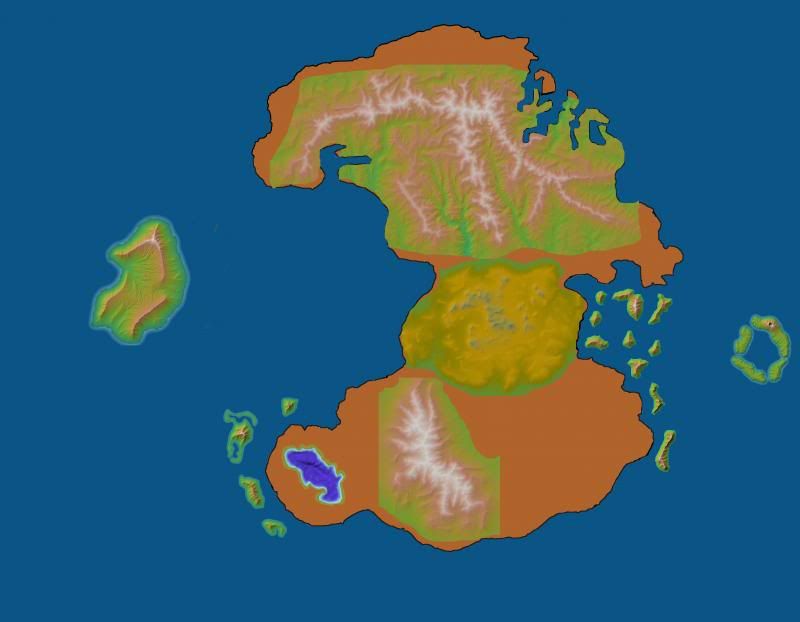
It's not the best but it gives an idea of what I'm trying to do. I just don't know if this program can do that. I need to get a good top down view of the terrain so i can past it on the map. Geocontrol2 can make some really neat looking areas, but as of yet i haven't found a way to export it in a true top down view. The closest i found was the 3d view from the side.